
High Falls State Park
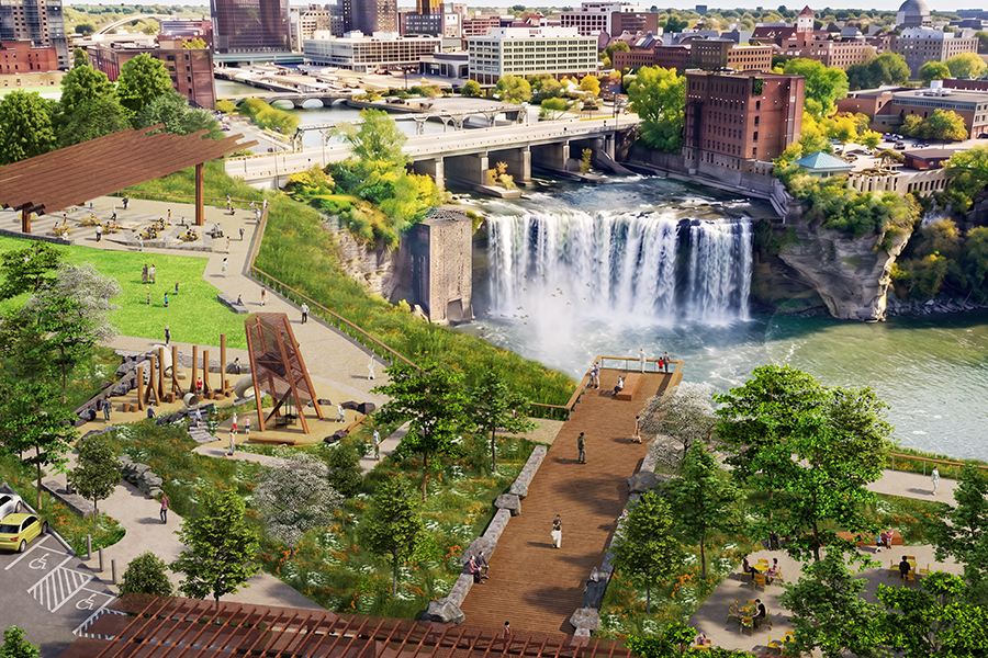
OLIN is leading a multi-disciplinary consultant team to plan, design, and implement a new urban State Park focused on the iconic, historic High Falls in Downtown Rochester. Building on years of grassroots advocacy and public planning through the City’s RoC the Riverway initiative, High Falls State Park will provide inclusive access to a historic and […]
Hunts Point Lifelines
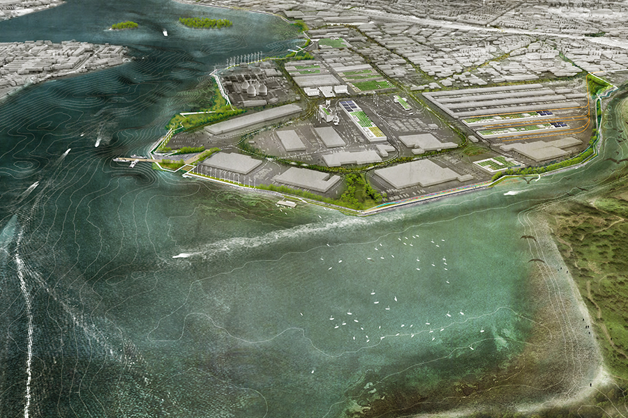
The Hunts Point Lifelines project is an innovative plan to safeguard the hub of New York’s Food Supply through a protective and resilient landscape infrastructure. The plan was a funded winner of the U.S. Department of Housing and Urban Development’s Rebuild by Design competition. The project is an exemplar of design that demonstrates innovative, scalable […]
The New York Botanical Garden Comprehensive Master Plan
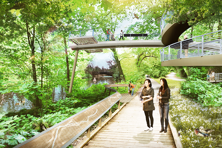
The Garden 2050 Master Plan exemplifies a commitment to accessibility, scientific discovery, sustainability, decarbonization, and ecological and horticultural stewardship. The plan is a bold initiative to comprehensively design the 250-acre institution’s future, while respecting and preserving its storied past. The Garden is a multifaceted cultural landscape destination for over 1.3 million annual visitors. The plan […]
Columbus Circle
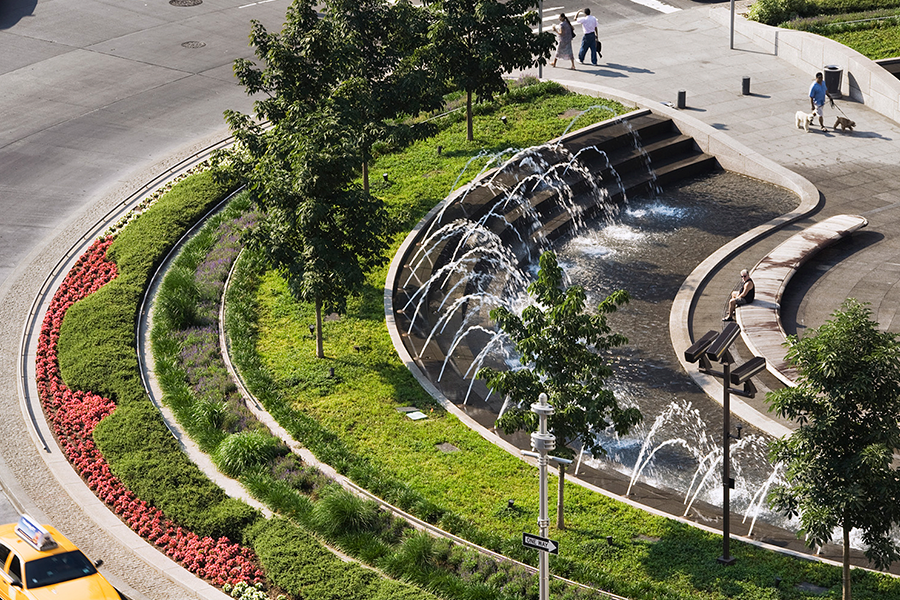
OLIN’s redesign of Columbus Circle is based on concentric rings of movement and light, transforming what was once an inhospitable traffic circle into a refuge where people stop, meet and relax in the hub of a swirl of traffic late into the evening. The fountain is formed by a series of ledges with cascading water […]
Bryant Park
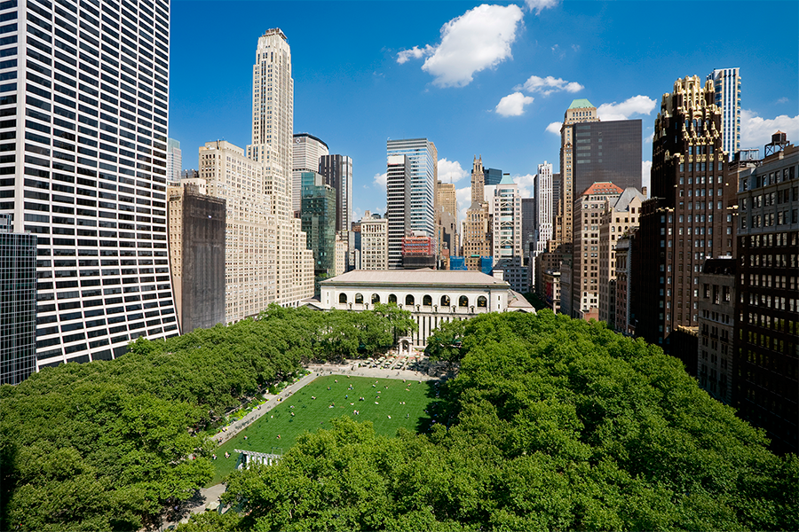
One of the highest profile and most cherished public spaces in the world, Bryant Park has become a model for environmental, social and economic sustainability. Many visitors to the park are unaware that the site is a large-scale green roof above an annex housing more than three million volumes of the adjacent New York Public […]
David H. Koch Plaza at the Metropolitan Museum of Art
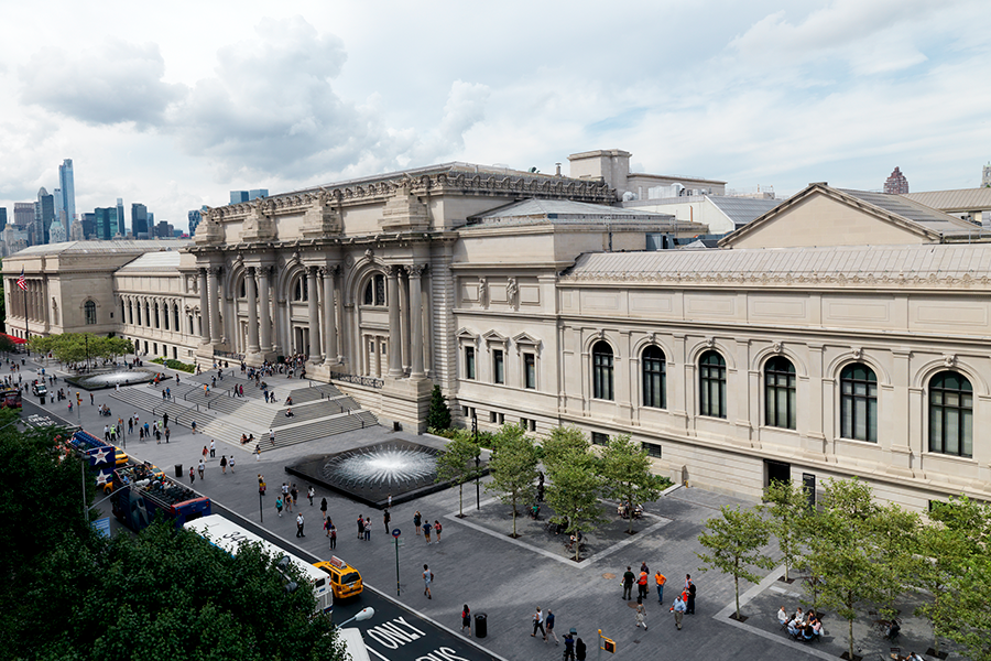
Along the length of the landmarked Fifth Avenue façade, OLIN’s design for The Metropolitan Museum of Art’s four-block-long plaza enhances one of New York City’s most significant public gathering spaces. OLIN led the design to prioritize the pedestrian experience and create a welcoming urban destination with fountains, trees, seating, and kiosks for refreshments and museum […]
Sojourner Truth State Park Waterfront Improvements for Scenic Hudson
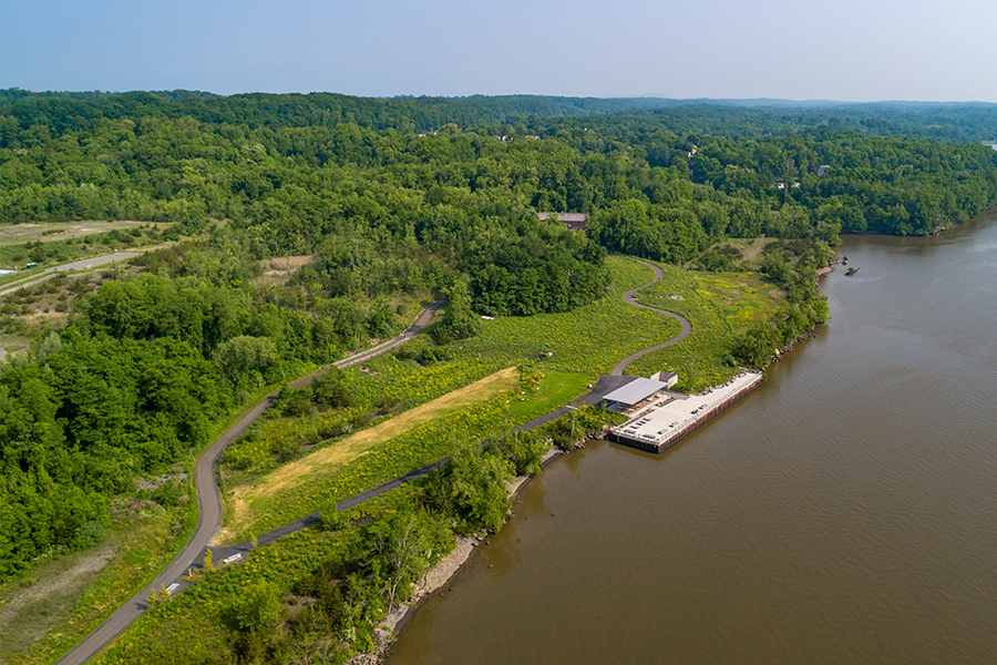
OLIN was commissioned by non-profit Scenic Hudson to develop a design strategy for the transformation of a former industrial and mining site into a new 520-acre park in Kingston and Ulster County, New York, along the Hudson River. The park’s size will enable opportunities for a range of outdoor experiences from intimate hikes and family […]
Sojourner Truth State Park Framework Plan for Scenic Hudson
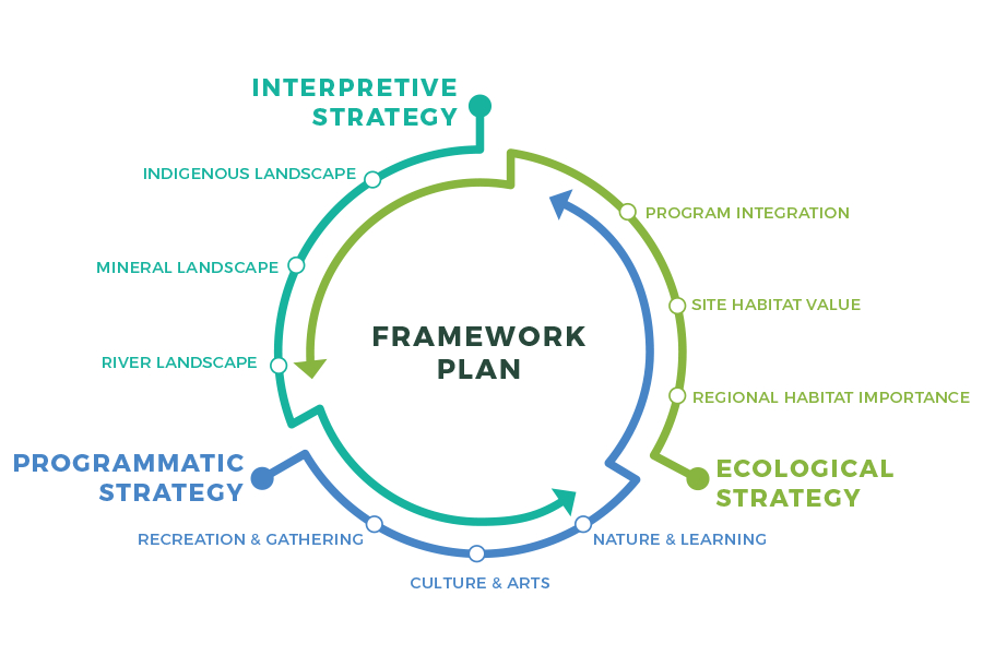
OLIN was commissioned by Scenic Hudson to develop a design strategy for the transformation of a former industrial and mining site into a new 520-acre park in Ulster County, New York, along the Hudson River. The site includes 260 acres of woodlands, more than a mile of Hudson Riverfront offering sweeping views, a dramatic cliff […]
Syracuse Connective Corridor
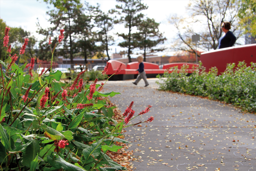
For decades, the city of Syracuse has been divided both physically and culturally. The large overpass of Interstate 81 bisected neighborhoods and impeded a cohesive urban identity. The design of the Connective Corridor is inspired by a renewed vision for Syracuse that will connect and enliven a central artery of the city in need of […]
Red Hook Housing Restoration
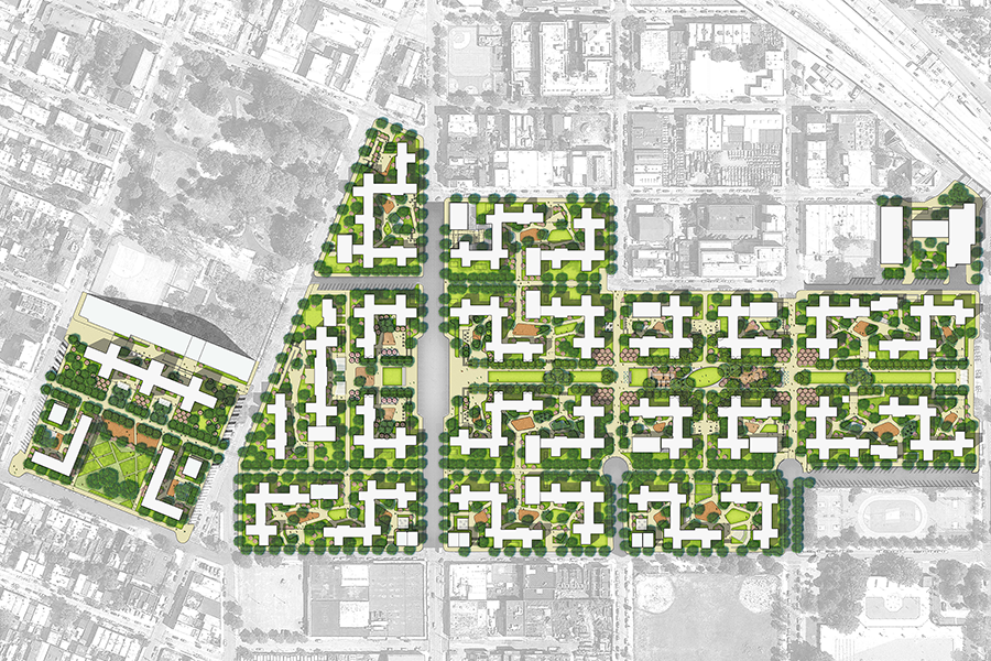
OLIN is a core design and planning member of the Red Hook Housing restoration plan led by Kohn Pedersen Fox. During Hurricane Sandy, residents lost heat, power, and in some cases water, with many stranded in their apartments or unable to return for weeks. The storm permanently damaged the majority of the electrical and heating […]