
Sepulveda Basin Vision Plan
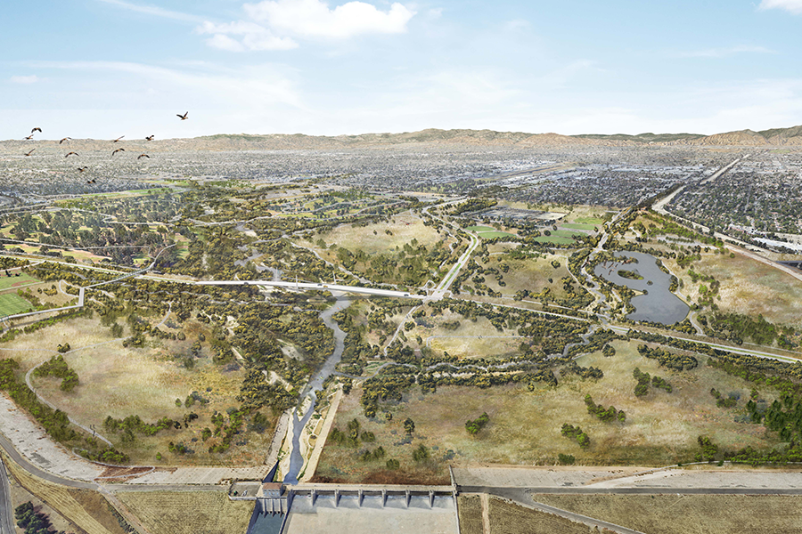
The Sepulveda Basin Vision Plan reimagines the future of the more than 2,000-acre flood basin in the heart of the San Fernando Valley. For the surrounding communities, the basin already serves as a hub for many local recreational activities as well as a biodiversity hot-spot, and a haven for reduced urban heat island effects. The […]
LA River Master Plan Update
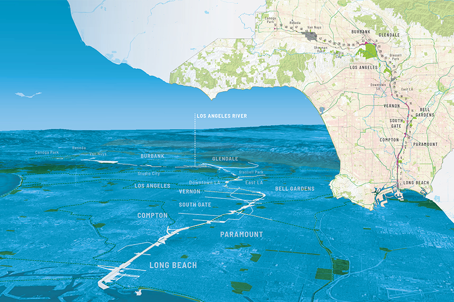
OLIN worked with Geosyntec, Gehry Partners, Street Level Advisors, and River LA on the update of the LA River Master Plan. Through an extensive public engagement process and close collaboration with LA County, the update modernizes the 1996 blueprint and investigates opportunities for recreation, social equity, public health, and flood mitigation. This new, unified vision […]
LA Park Needs Assessment
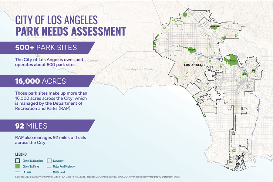
As critical infrastructure in our communities, parks are a foundational part of life in Los Angeles. The City of LA has one of the most iconic park systems in the United States, boasting parks like Echo Park and Sepulveda Basin and world-renown facilities like the Griffith Observatory and Greek Theatre. Keeping up with this system […]