
Pocomoke Sound Corridor Resiliency Framework
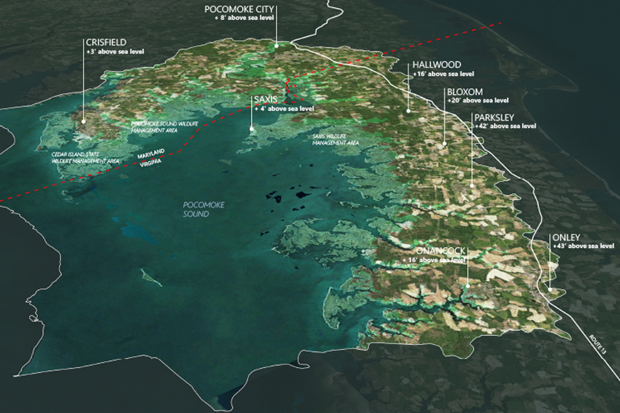
The Pocomoke Sound Corridor Resiliency Framework is a high level, forward-looking landscape scale plan that addresses ecosystem and community resiliency and adaptation as sea level rises and flooding increases within the region. Led by The Nature Conservancy, the Framework Is an important first step intended to spur future phases will incorporate community engagement, identify specific […]
Camana Bay
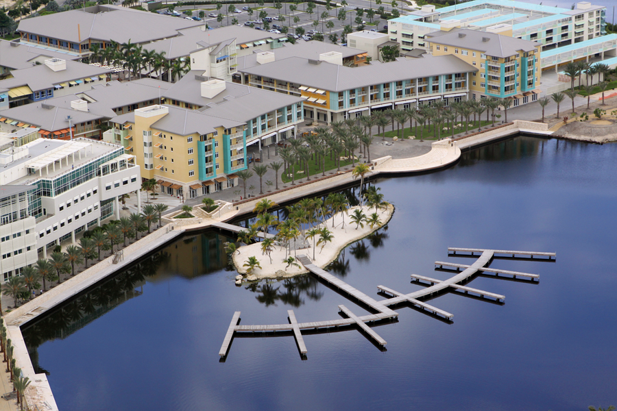
A unique tropical paradise is the setting for a new 500-acre community consisting of four village areas: a hotel resort and beach club; a town center with retail and commercial office space; a marina village; and a collection of residential neighborhoods. The design sets a new standard of development in the Caribbean and puts sustainability […]
Currie Park Redesign
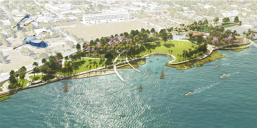
OLIN is collaborating with Chen Moore Associates and a multi-disciplinary team of experts on a community-based, ecological vision for Currie Park, a key place of exchange between the city of West Palm Beach and its urban estuary on the shores of the Intracoastal Waterway. The master planning effort for the 13.6-acre site, led by the […]
Mill River Park and Greenway
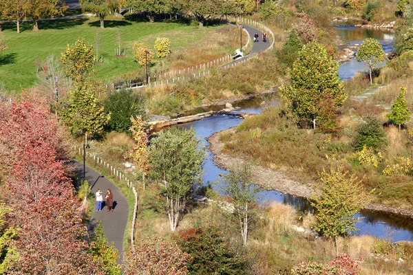
For decades, Mill River in Stamford, Connecticut was dammed and channelized, choked with pollution and silt buildup, leading to greater flood risk for the surrounding downtown. When the Army Corps of Engineers called for the removal of the dam and channel walls, OLIN was brought in to create a master plan for the newly naturalized […]
Origin Park
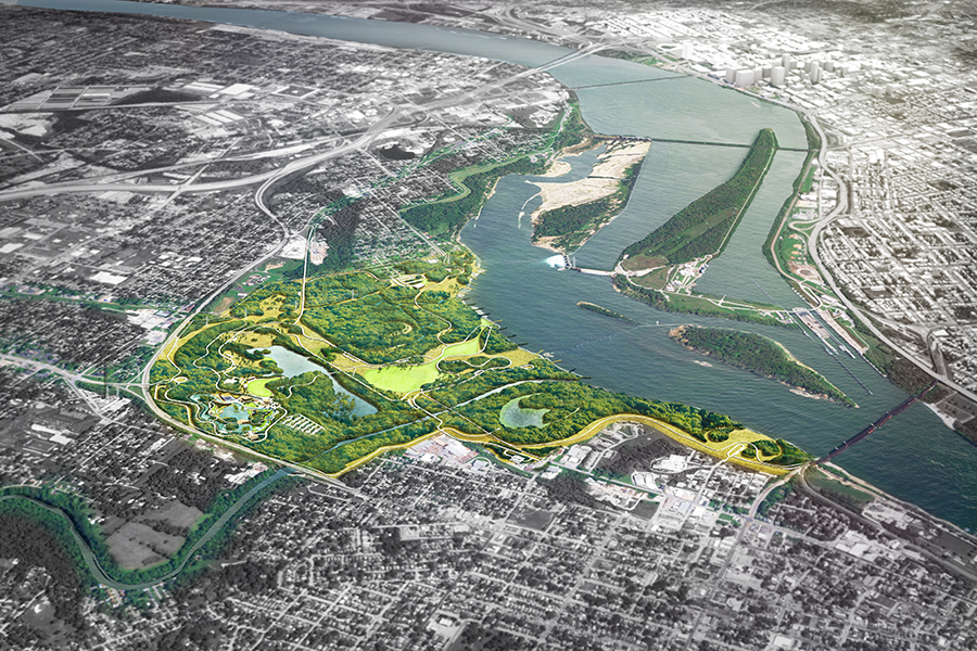
OLIN has been commissioned to develop a design for a new 400-plus acre park in Southern Indiana, along the northern shore of the Ohio River. The project will rehabilitate and transform an expanse of waterfront lands, which for decades have been occupied with landfills and industrial facilities, into a rich cultural and civic asset for […]
Rincon Park
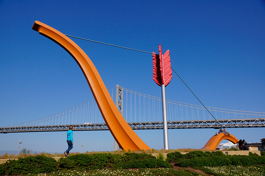
This reclaimed brownfield on Oakland Bay was previously the site of freight railways, dirt pathways and warehouses. As part of the design considerations, OLIN developed on-site remediation strategies to isolate contaminated soils from non-contaminated soils. Today, the park features inviting expanses of lawn, canted and oriented to provide maximum views to the bay. The lawns […]
Sojourner Truth State Park Waterfront Improvements for Scenic Hudson
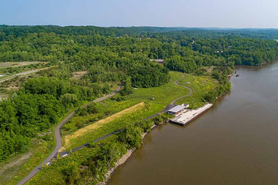
OLIN was commissioned by non-profit Scenic Hudson to develop a design strategy for the transformation of a former industrial and mining site into a new 520-acre park in Kingston and Ulster County, New York, along the Hudson River. The park’s size will enable opportunities for a range of outdoor experiences from intimate hikes and family […]
Sojourner Truth State Park Framework Plan for Scenic Hudson
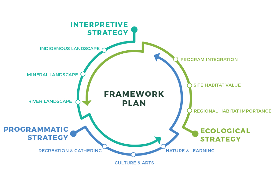
OLIN was commissioned by Scenic Hudson to develop a design strategy for the transformation of a former industrial and mining site into a new 520-acre park in Ulster County, New York, along the Hudson River. The site includes 260 acres of woodlands, more than a mile of Hudson Riverfront offering sweeping views, a dramatic cliff […]
Water Works Park and Island
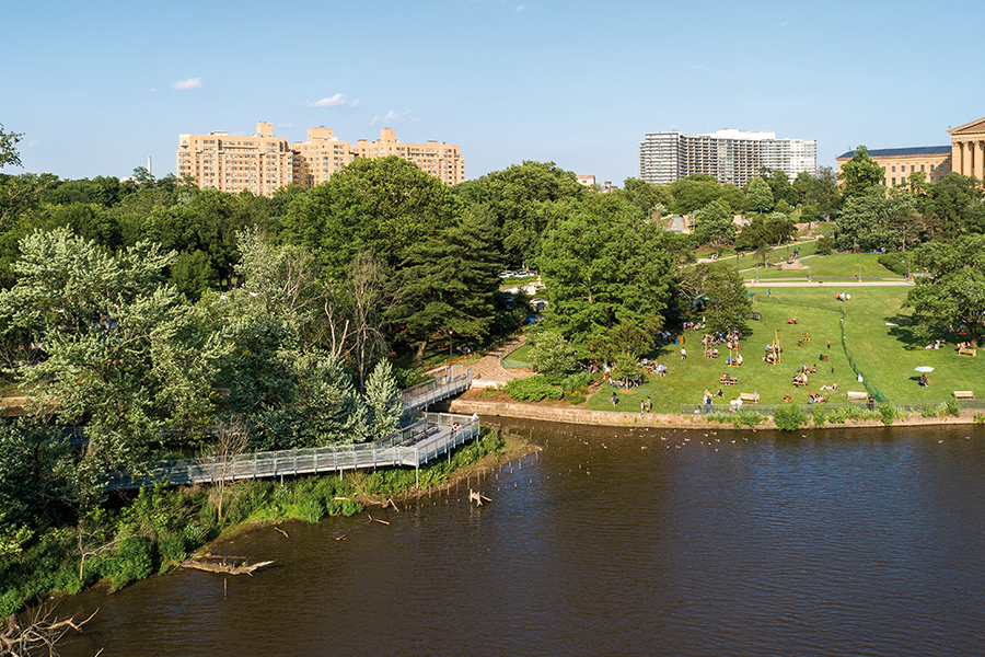
The Fairmount Water Works Park Amenities and Island Enhancements projects represent the final site initiatives in a comprehensive revitalization of the Schuylkill River’s edge. The project is comprised of three main elements: the Italian Fountain Plaza, the River’s Edge and the Island. Along with the restoration of the Italian Fountain itself, improvements to the paving, […]
Master Plan for the Central Delaware
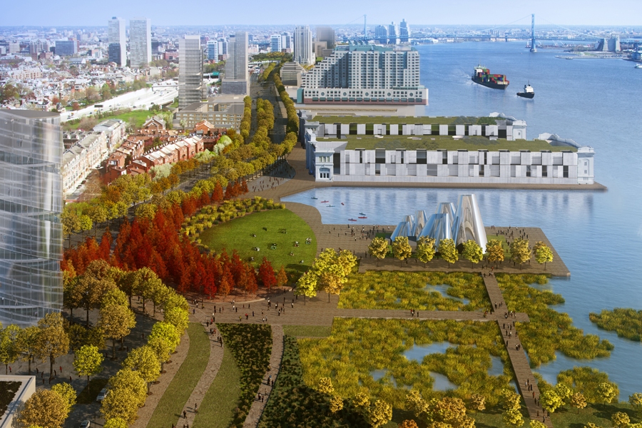
This master plan is a 25-year roadmap to transform the post-industrial lands along the Delaware River into a vibrant urban waterfront. OLIN focused on enhancing the urban ecology of Philadelphia in order to promote social equity and economic well-being. The plan proposes providing access to public parks at half-mile intervals along the entire 6-mile length […]